Return to townland history

button to go to six inch map page

Button to go to Archeology Map page

Button go to O'Donovan letters page

Button go to tithes applotment page

Button to Encumbered Estates page

Button to Griffiths page

Button to comparison of tithes and Griffiths page

Button to summary census page

Button to 1901 census page

Button to 1911 Census page

Button to Baptisms page

Button to births page

Button to marriages page

Button to valuation office page

Button to gravestones page

Button to house photos page

Button to old photos page

Button to interviews page

Button to family trees page

Button to references page


map showing landholders 2003

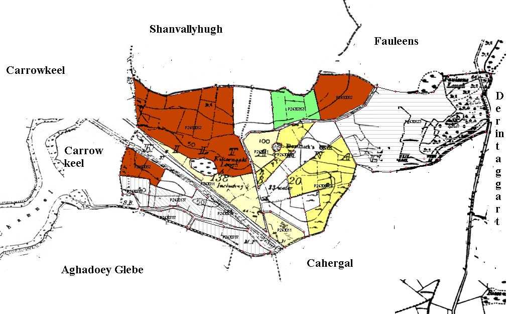
Ownership of land in Kiltarnet 2003.

P2420137 Murray
P2430116 Collins
P243014X Collins
P2430353 O'Donnell
P2430523 Conway
P2430698 Chambers
P2430701 Moran
P2430787 O'Malley
P2450052 Chambers


Six inch Ordnance survey map. | Archaeological survey map. | O'Donavan's Ordnance Survey letters. | Tithes Applotment (1835). | Sale in Encumbered Estates Court (1852). | Griffith's Valuation (1857). | Comparison of Tithes and Griffiths.| Summary Censuses of 1841 - 1891. | 1901 Census. | 1911 Census. | Baptism registers | Birth registrations. | Marriage Registrations | Valuation Office Entries | Gravestone Inscriptions. | Photographs of houses (occupied and unoccupied in the townland). | Old photographs of previous occupants. | Interviews with present occupants. | Family trees. | Some references to Kiltarnet | Landholders in 2003